
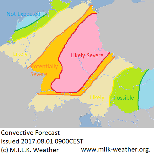
A rather interesting severe weather situation in Central Europe today, and quite a potent one at that, with ESTOFEX issuing one of its rare Level 3 threats for northeastern Germany. While the cluster of thunderstorms that moved across Germany last night is slowly dying in the northeast, a new one is moving in from France in the southwest, with the strongest individual thunderstorms (as is usual for clusters) being at the southern edge.
There is a lot of potential in the atmosphere, and many parts along the route of the thunderstorms from the southwest to the northeast will reach temperatures over 30°C, some even close to 36°C.
This gives the thunderstorms the abilities to grow into really severe individual storms. The risks include storm gusts that may reach up to 100 to even 125km/h at times, hail with diameters of up to 5 – 8cm, flash flooding (with rain rates of around 40 liters in an hour) and an elevated risk for even strong tornadoes.
The storms will have the energy to continue well beyond sunset and even into the morning hours of Thursday.
++++++++++++++++++++++DEUTSCH+++++++++++++++++++++
Eine ziemlich interessante Unwetterlage heute in Mitteleuropa, die auch durchaus viel Potential aufweist, was ESTOFEX dazu gebracht hat, eine ihrer seltenen Level 3 Warnungen für den Nordosten Deutschlands auszugeben. Während der Gewitter-Cluster der sich letzte Nacht über Deutschland bewegt hat sich im Nordosten jetzt langsam auflöst, bewegt sich schon ein neuer aus Frankreich im Südwesten in das Bundesgebiet. Die stärksten individuellen Gewitter in diesem Cluster sind, wie es normal ist für solche Gruppierungen von Gewittern, derzeit am südlichen Rand zu finden.
Es ist heute viel Potential in der Luft, und viele Orte entlang der route der Gewitter von Südwest nach Nordost werden heute nochmals Höchstwerte über 30°CC, zum Teil auch 36°C, erreichen.
Das ermöglicht es den Gewittern zu kräftigen Unwettern heranzuwachsen. Die Hauptgefahren sind unter anderem Sturm- oder Orkanböen bis 100 oder sogar 125km/h, Hagel mit einem Durchmesser von bis zu 5-8cm, Starkregen (Regenraten bis 40 liter in einer Stunde) und ein erhöhtes Potential sogar für starke Tornados.
Die Unwetter werden die nötige Energie besitzen um bis tief in die Nacht durchzuhalten, manche sogar bis in die Morgenstunden des Donnerstags.